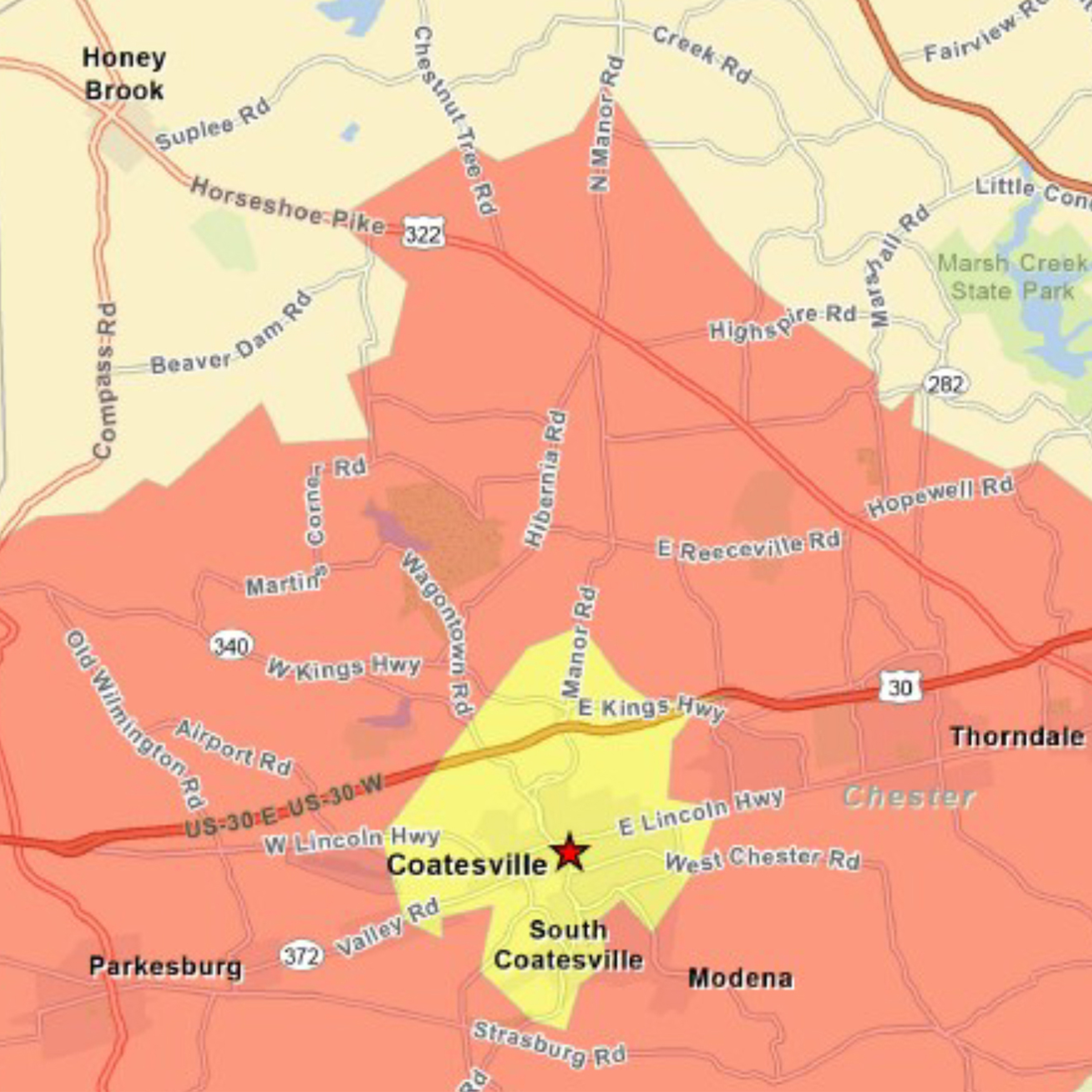
Maps for the City of Coatesville
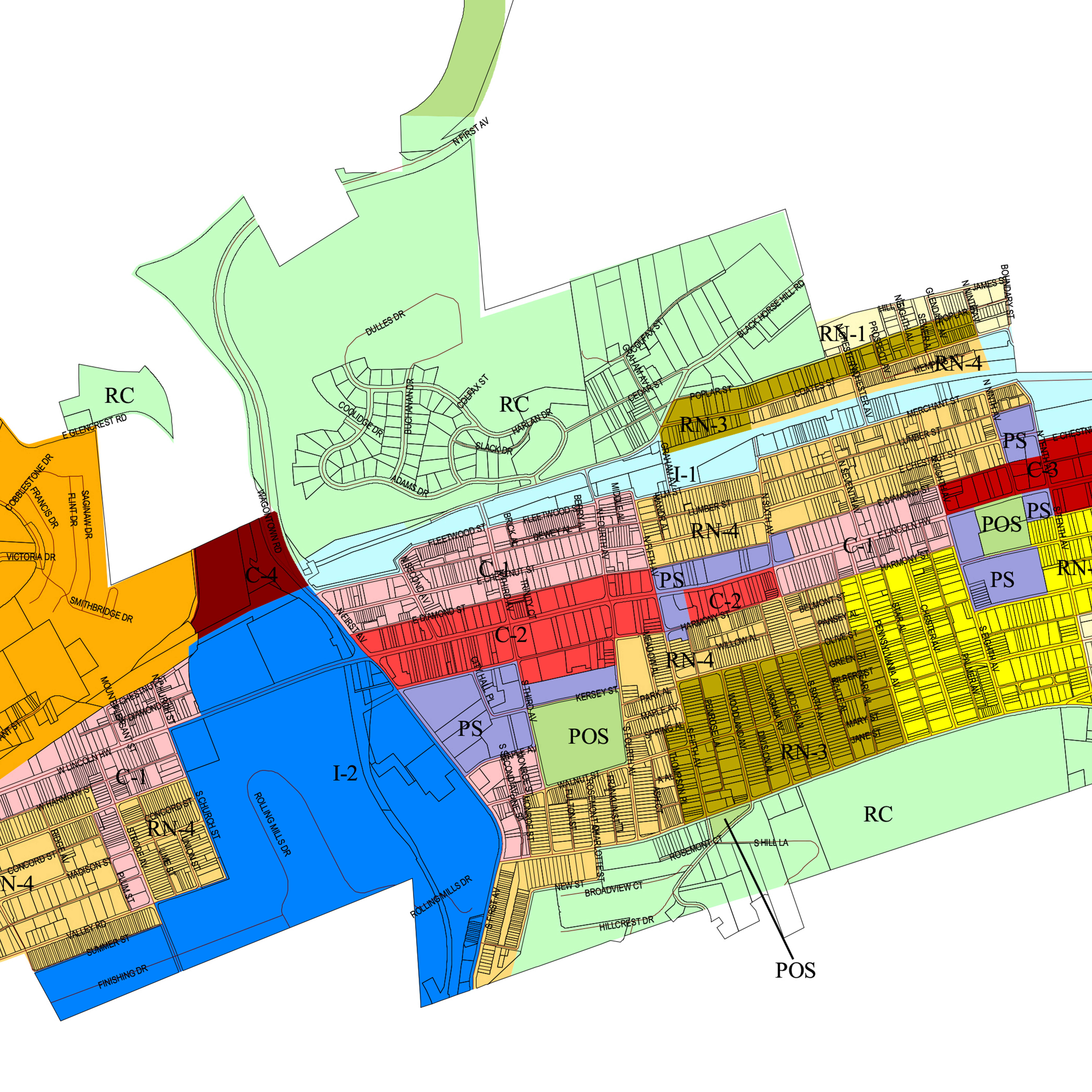
Welcome to the City of Coatesville’s comprehensive map resources, designed to provide you with valuable information about our vibrant community. Our zoning maps offer a detailed overview of the different zoning districts within the city, helping residents and businesses understand land use regulations and plan accordingly.
Finding the Right Maps
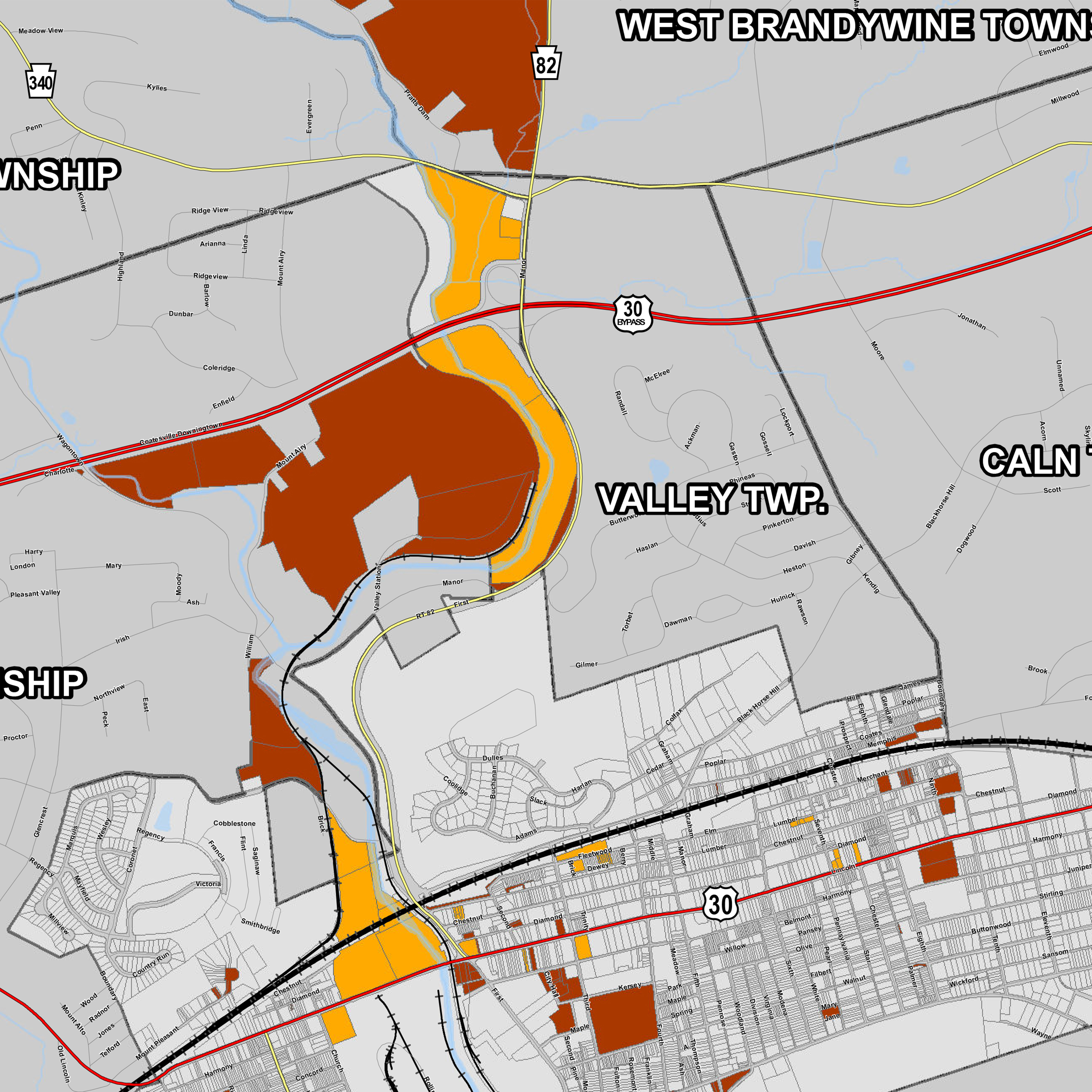
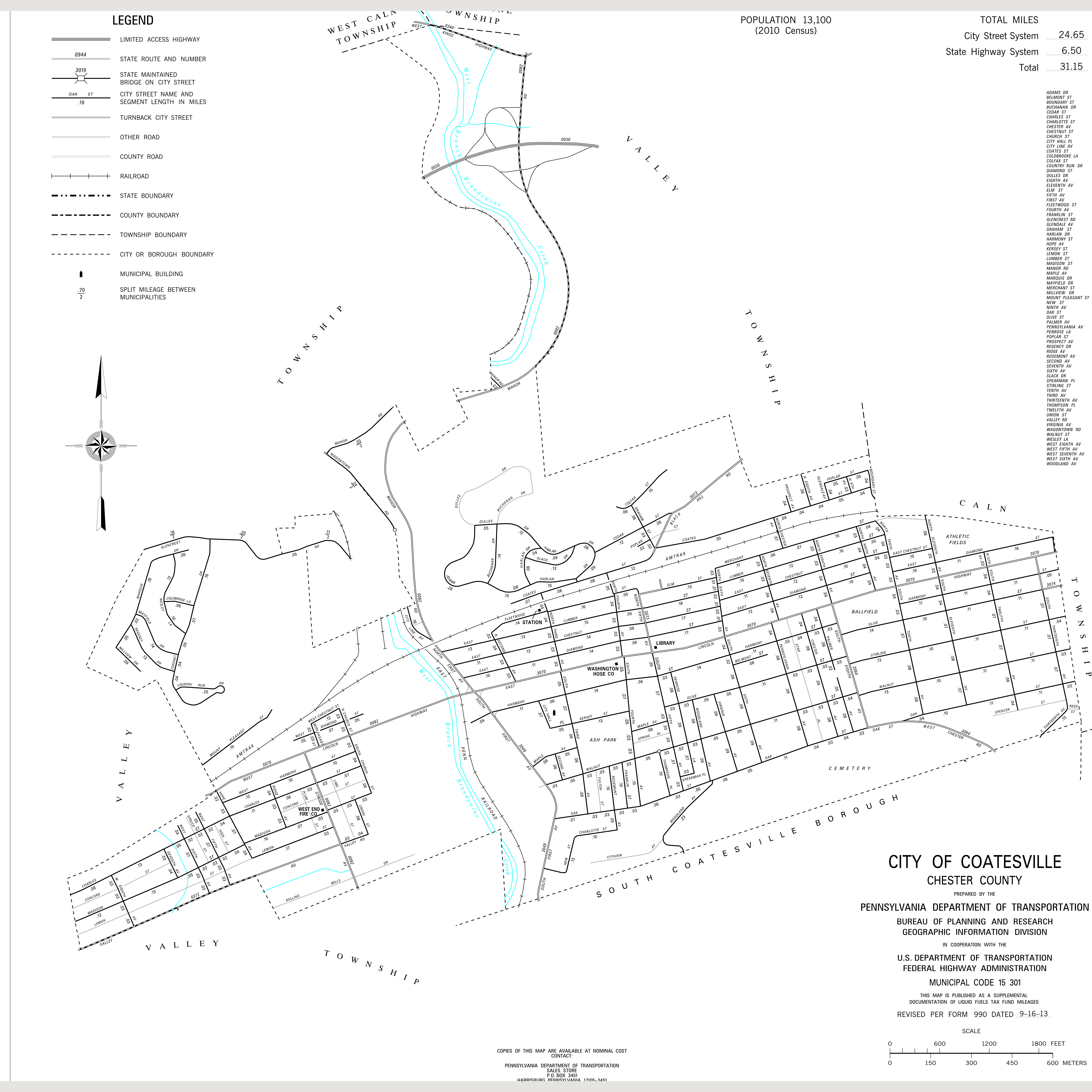
Additional maps are available at the City Council building located at 1 City Avenue, Coatesville, PA 19320. The City provides maps of the various areas, zones, municipalities, and other classifications, allowing you to explore neighboring areas and understand their boundaries. In addition, our maps showcase mixed-use properties, highlighting the exciting opportunities for businesses and residents to thrive in these dynamic spaces. Whether you’re seeking a new location for your venture or simply curious about the layout of our city, our maps offer invaluable insights and support your journey in Coatesville.
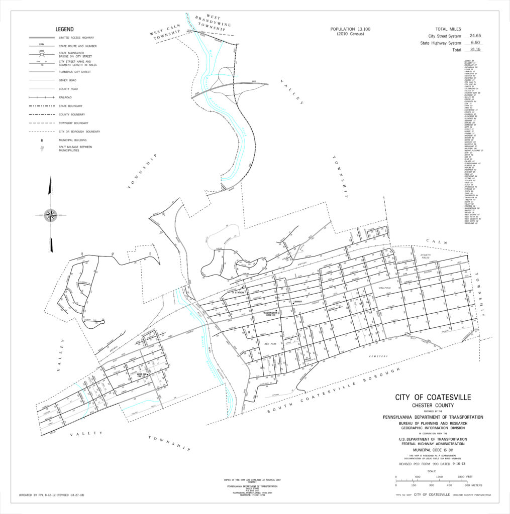
Available Maps
View the Coatesville Zoning Map
View ChescoViews for Detailed Parcel Information

